With river flows rising and falling over the Martin Luther King, Jr., holiday weekend, forecasts by the National Oceanic and Atmospheric Administration state that the Snoqualmie River has passed the crest of moderate flooding as of Sunday evening, Jan. 16.
Currently at a Phase III flood alert, the Snoqualmie River crested at 6:30 p.m. Sunday at about 37,600 cubic feet per second at Snoqualmie Falls.
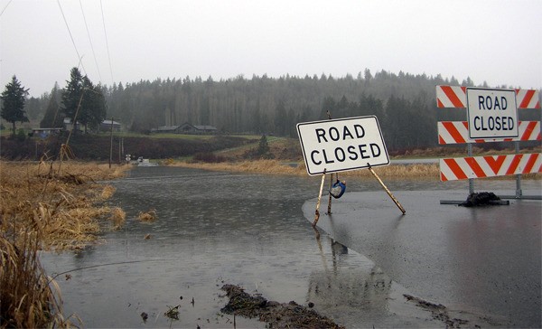
Flood waters inundated a number of low-lying roads around the Valley. According to reports from the Washington State Department of Transportation, all lanes are blocked on State Highway 202 between Fish Hatchery Road, north of Snoqualmie, and the roundabout interchange with State Route 203 near Fall City. Drivers are advised to avoid the area.
There is water over the roadway on State Route 203 at Southeast Third Street and at Northeast 124th Street. The road is not blocked, but drivers are advised to use caution.
Flows are continuing to fall upriver. The sum of the Forks near North Bend crested at 2:30 p.m. Sunday at 34,774 cfs.
According to King County, residential flooding typically happens at about 38,000 cfs at the Forks of the Snoqualmie River.
The City of Snoqualmie Emergency Management Department is monitoring the situation and will send alerts to citizens in advance of significant flooding concern. Evacuation notifications, if necessary, would be sent via the Snoqualmie REVERSE 911 system. Other important notifications would be sent via citizen email lists.
NOAA predictions say that the Snoqualmie will crest at Carnation about 10 a.m. Monday, at about 58 feet, or 38,890 cfs. Flood stage is 54 feet.
The January 2009 flood reached 60,000 cfs at Snoqualmie Falls and 82,900 cfs at Carnation.


