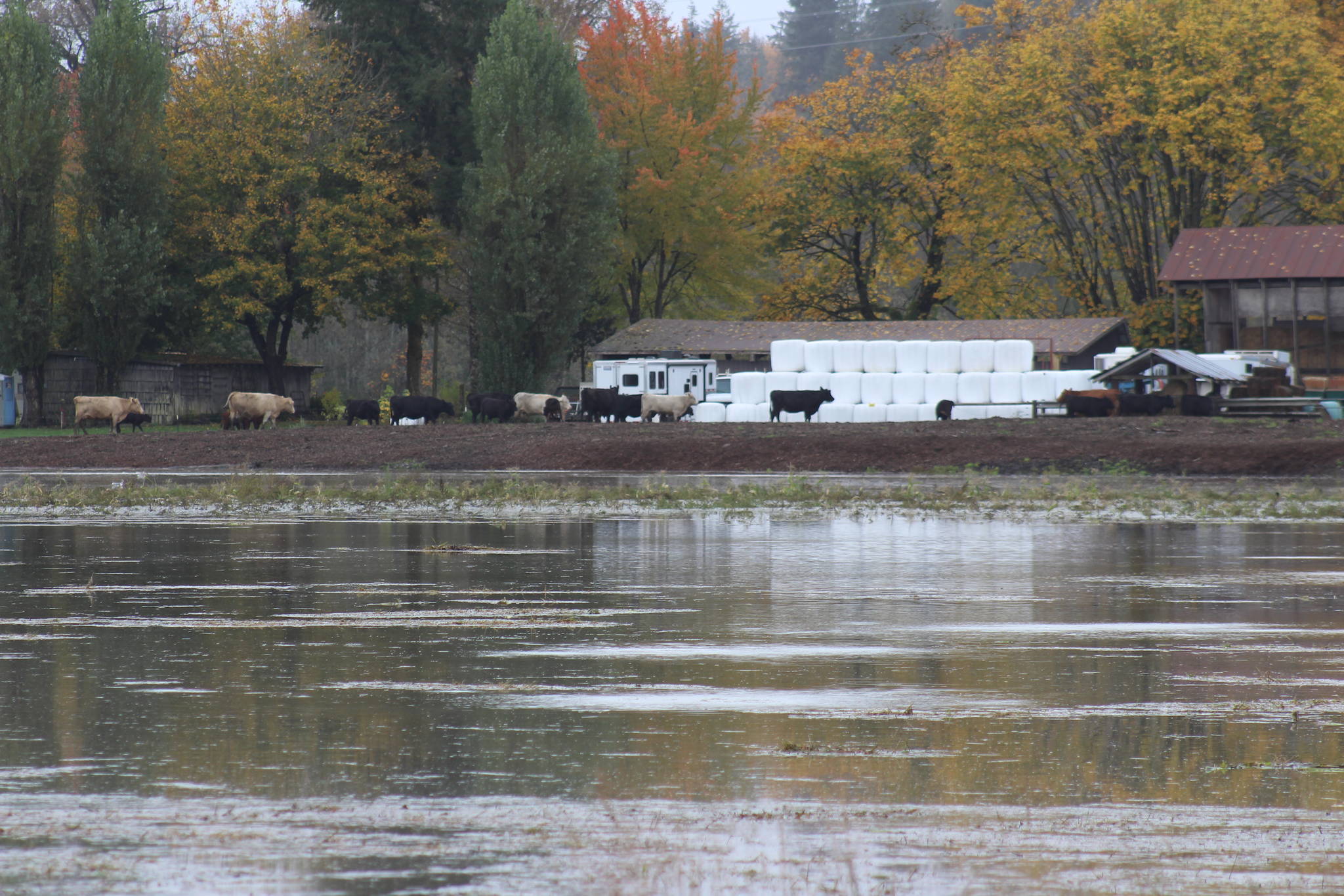
Despite predictions of minor flooding, the flows along the Snoqualmie River prompted King County to open its flood warning center last night and has led to multiple road closures in the valley.
The Snoqualmie River reached a fourth phase flood alert early Tuesday, with flows reaching nearly 40,000 cubic feet per second (CFS) around 2:30 a.m. The phase 4 flood alert threshold is 38,000. The Tolt River also reached phase 3 of its flood alert. King County Department of Natural Resources and Parks spokesperson Doug Williams spent the night monitoring flows.
“It’s the highest flood waters we’ve seen in a few years,” he said.
The Snoqualmie Valley is no stranger to flooding, but they typically come later in winter, with November through February being prime time. As of 10 a.m. Tuesday, Oct. 22, the flows near the city of Snoqualmie were dropping by around 1,400 CFS an hour, but flows further downriver near Carnation were increasing an equivalent amount.
The King County Roads website showed several road closures stretching from North Bend to Carnation parallel to the Snoqualmie River. Snoqualmie Fire Department administrative coordinator Tomm Munroe said Mill Pond Road, SE Park Street, SE Reinig Road and Pickering Court were all closed. However, he said the river was already dropping.
For Snoqualmie, the flooding wasn’t terrible, he said.
“I would consider it minor, this is pretty typical of what we get,” said Munroe.
No property damage or injuries had been reported and emergency crews hadn’t received any aid calls as of press time. Williams urged drivers to avoid flooded or closed roads. These roads can be dangerous and are usually the cause of flood deaths, when they occur. Even if the road looks driveable, they can present hidden dangers.
Outside of Carnation on Oct. 21, several roads were closed. Both the Tolt and Snoqualmie Rivers were flowing high.
“You just never know, you never know how deep the water is,” Williams said. “You don’t know if that road has been damaged as a result of that flooding.”
Flood water could stick around in areas of the valley throughout Tuesday.


