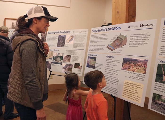
Representatives from King County came to the Meadowbrook Farm Interpretive Center in North Bend Oct. 27, to present two new maps detailing landslide hazard areas around the county.
Interest in landslide hazard awareness was renewed after the Oso landslide in 2014. Jeanne Stypula, supervising engineer with river and floodplain management at the Department of Natural Resources and Parks, said the renewed focus on landslides got King County to look at updating its landslide hazard maps.
“The awareness of landslides was really brought forth by the Oso landslide in March of 2014 and that’s when everybody realized we really need to have better mapping so people are aware of the hazards,” she said.
King County, motivated to prevent another landslide disaster from occurring, began working on an update to its 1990 landslide hazards map and the landslide hazard map used for regulating land use permits.
At the presentation in North Bend, both maps and general information around landslides were discussed in depth.
“The last time we had mapping of landslides was back in 1990,” Stypula said. “We really wanted to update with all the new info and tech to make the maps more detailed and accurate using tech like Light Detection and Radar (LiDAR).”
John Bethell, geologist with the Department of Natural Resources and Parks, and Greg Wessel, environmental scientist and engineering geologist with the Department of Permitting and Environmental Review, presented their mapping software at the event.
Bethell worked on the mapping of the landslide hazard areas along the river corridors for the King County Flood Control District and Wessel worked on the map used for land use regulation.
“Landslides are quite common around here at a variety of different scales, a few of which are potentially still in motion and all the way down to small 10-cubic-yard debris slides that still could be dangerous,” Wessel said. “Our intent here is to make sure that, as far as the permitting department goes, make sure that people don’t develop in areas where there would be a problem or, if they intend to work around the landslide, then there would be mitigation included that would eliminate or minimize the hazard.”
Wessel and Bethell both spoke about the mitigation of risk and how through updated technology and mapping, landslide disasters can be prevented.
“Hazards and risk are two different things. Our intent is to identify the hazards so we can eliminate the risk,” Wessel said. “But now, with the new information we have from LiDAR and new geologic mapping, it’s obvious we can have a much better and more accurate map that we could not have created before.”
The new maps are available for the public to use through King County’s online iMap tool at gismaps.kingcounty.gov/iMap.
Bethell and Wessel will host another workshop at 6 p.m. on Thursday, Nov. 3, at Tolt Middle School in Carnation.


